Venezuelan- Colombian Border
Cell towers analyzed
Cell towers with irregularities
Measurements taken
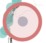
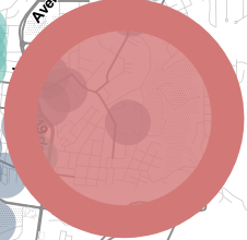
Click on the red spots to see irregularity case details, the measurements were taken from March to May 2019, the blue spots represent the places where measurements were taken at least once, those locations where obfuscated for security reasons (error about 300 meters or 984 feet round)
Both in the results maps and in the table of cases handled in FADe project, three (03) levels of anomaly are proposed. More info.
Low

Medium

High

The red line represents the reference guide of the border between Venezuela and Colombia. A more exact representation is the Táchira river (grey dashed line)


How the tests are done?
All the tests done in this project are based on the capture and analysis of different parameters (data transmitted by the cell towers continuously to all phones in their coverage area as radio waves). These parameters have different purposes, such as identifying the tower in the network, publishing the neighbor towers, and telling phones specific configurations they should do in order to optimize the connection quality with the tower. The tests made with their respective cases in this area are described in the following table (There might be towers with more than one case in this analysis, allowing differences between the cases and the towers with irregularities counts).
Test |
Cases |
|---|---|
| Network parameter outliers (more info) | 3 |
| Potential misplaced tower (more info) | 6 |
| Timing advances inconsistency (more info) | 7 |
| Cell parameter outliers (more info) | 2 |
Total |
18 |
Cases list for selected location
FADe project is an initiative of South Lighthouse with the support of the Open Technology Fund.
![]()
![]()
This website is available under a Creative Commons Attribution 4.0 International (CC BY 4.0) License creativecommons.org


